
Sonoran Desert Destinations Sonoran Desert Birds Sonoran Desert Plants Sonoran Desert Wildlife
Images From Other Places
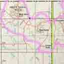
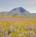
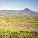
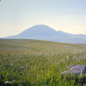
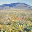
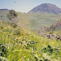
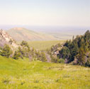
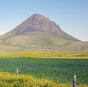
Sweetgrass hills
Name of highest point West Butte
Elevation of highest point 6,983 ft.
Approximate elevation of lowest point 3,764 ft.
Approximate coordinates of highest point N48.93130, W111.53175
Approximate coordinates of lowest point N48.9131, W111.4372
Approximate elevation difference between lowest and highest points 3,219 ft.
Brief description Scattered, lightly timbered buttes
Click on thumbnail for full sized image.
 |
 |
 |
 |
 |
 |
 |
 |