
Sonoran Desert Destinations Sonoran Desert Birds Sonoran Desert Plants Sonoran Desert Wildlife
Images From Other Places
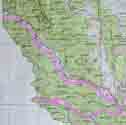
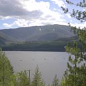
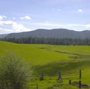
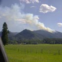
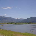
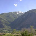
Couer 'D Alene mountains
Name of highest point Cherry Peak
Elevation of highest point 7,352 ft.
Approximate elevation of lowest point 2,200 ft.
Approximate coordinates of highest point N47.4880, W115.1691
Approximate coordinates of lowest point N48.044, W115.889
Approximate elevation difference between lowest and highest points 5,152 ft.
Brief description Medium height rolling forested mountains, shared with Idaho
Click on thumbnail for full sized image.
 |
 |
 |
 |
 |
 |